EODI
European Observatory of Drone Incidents. An open, map-based record of drone incidents in Europe where every data point keeps its source.
News about drones arrives scattered, repeated across outlets and sometimes without a clear source, and war reports are written by one of the parties. Without a record that keeps who said what, you cannot compare one incident with another or check anything later.
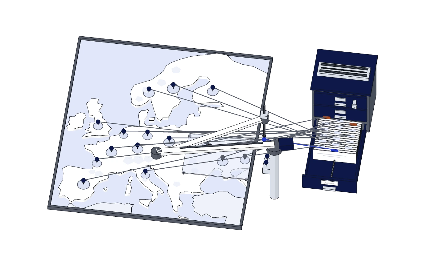
EODI, the European Observatory of Drone Incidents, is that record. It gathers drone incidents in Europe on a public map, with the war between Ukraine and Russia in a separate layer, and every data point says where it comes from.
Rules before data
I built it on a few principles, and almost all of them are prohibitions. Every data point keeps who said it. A location is an area, a point with a radius, and not an exact spot. Nothing is deleted. Internal data never reaches the public site. From each source it keeps the fact, a short sentence and the link, never the full text.
Every hour, with nobody watching
Collection is automatic and runs every hour on a server of its own. The war layer reads the official channel of the Ukrainian Air Force and that of the Russian Ministry of Defence, with their archives back to October 2022, and flags both as claims by one party, which is what they are. European news about drones is collected from GDELT, filtered, stripped of repeats and grouped before an extractor turns it into incidents.
The public website fits on a single screen, with the map of Europe, incident cards, a timeline and the methodology, in Spanish and English, and it is rebuilt when there is new data.


Data to reuse
What remains is the record itself and its open data, which can be downloaded from the website under CC BY 4.0, and the code, under Apache 2.0. The current data version is October 2026, and every quarter a dated version with a DOI is deposited in Discuss Data, at the University of Bremen.
I do not claim the record is complete. It holds what the sources it reads publish, and a war report is still one party’s version however well it is filed.